2 April
2016
31 March
2016
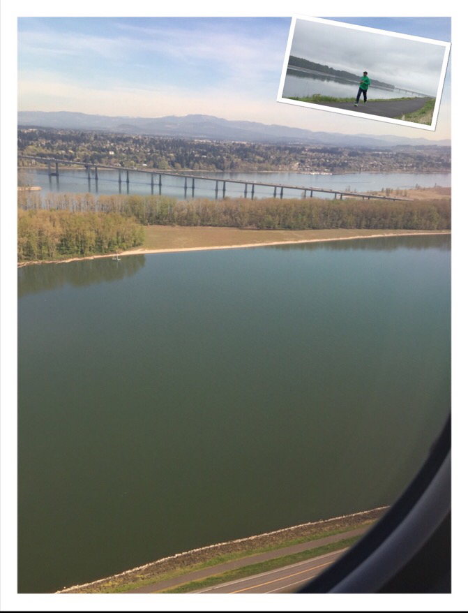
Perspective from the other side
The plane started rolling off the starting point on the runway. As it gathered momentum and pulled the wheels up, rapidly we could see River Columbia emerge to our left. A few seconds later, as we continued to gain height, something seemed to trigger some old memories as I looked down from the plane. Quickly took a few pictures of the sight and then waited to get Wifi access in the plane (after 10,000 feet).
A few minutes of research on my blog and sure enough – I figured out why the scenery looked familiar.
Notice the right bottom end – near the plane’s window edge, you can see the road. But between the road and the the river, if you carefully notice, there is a trail that goes along the river (this is the Oregon side; the other side is Washington).
Way back on Oct 20, last year, I had driven up to a trail head and started running. Eventually, I ran along the exact spot that you see in this picture. See the inset – and you can see the same bridge. I remember stopping multiple times to watch the planes fly very low as it approached the runway.
Today, I was on the other end!!
31 March
2016
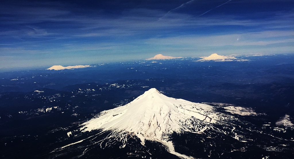
Perfect opportunity…
The plane took off southeasterly from Portland airport and then dipped south for a minute to then straighten up eastward wrapping around Mount Hood. And as it did that, there were a few incredible seconds where we were still under cloud cover to get a clear view of all the four peaks – Mount Hood in Oregon and Mount St.Helen, Mount Rainier and Mount Adams in Washington – all at once!!!
31 March
2016
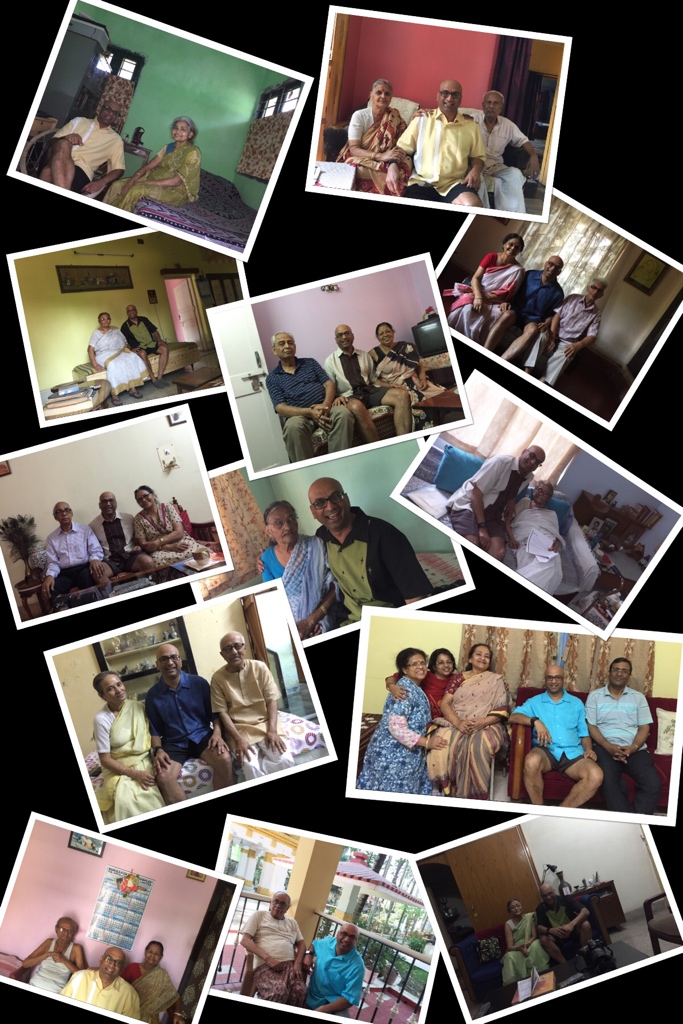
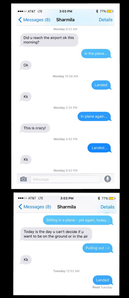
This Monday was a blur…
21 March
2016
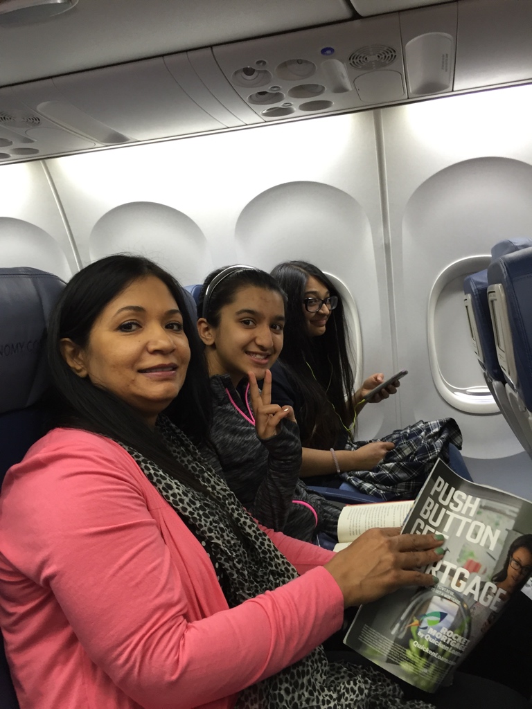
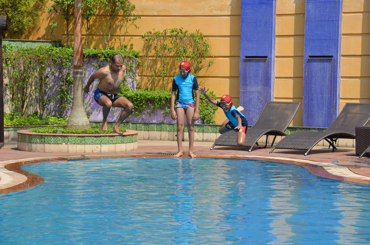
Flights of fancy
21 March
2016
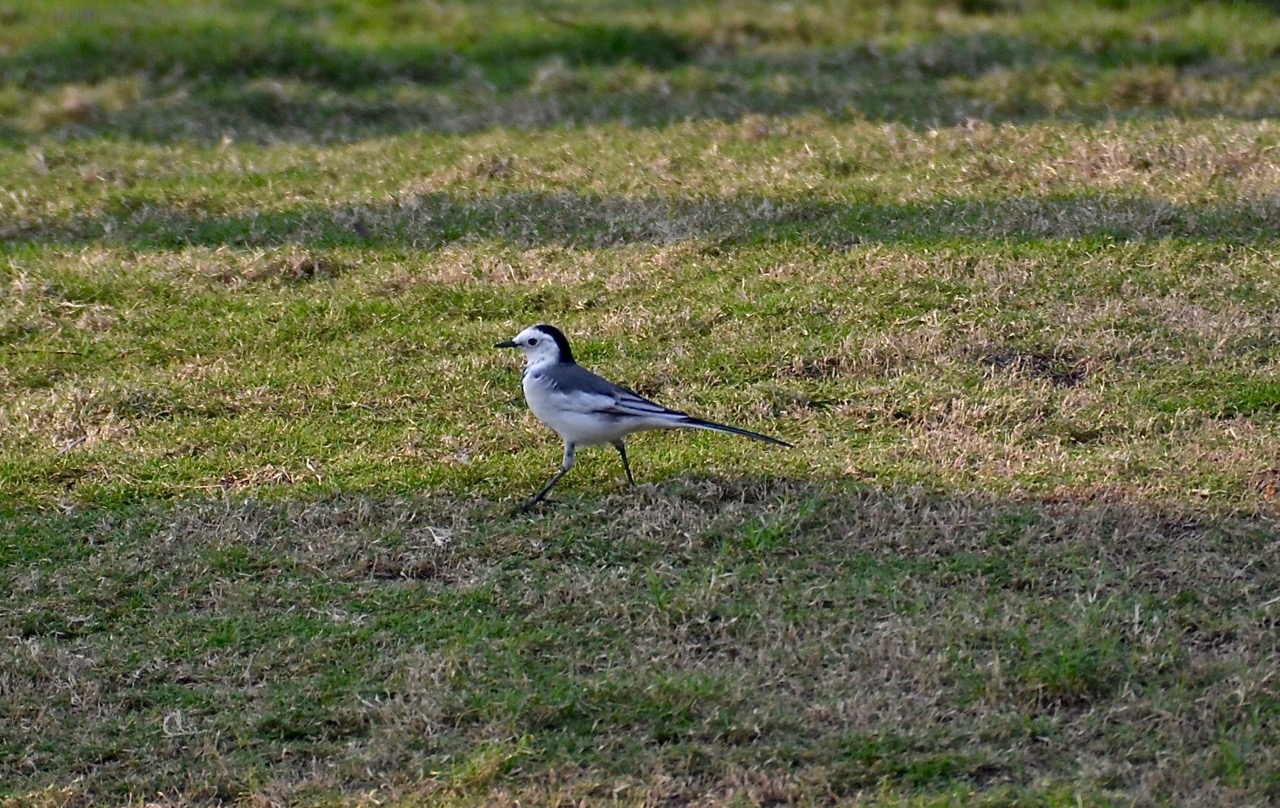
What bird is this?
21 March
2016
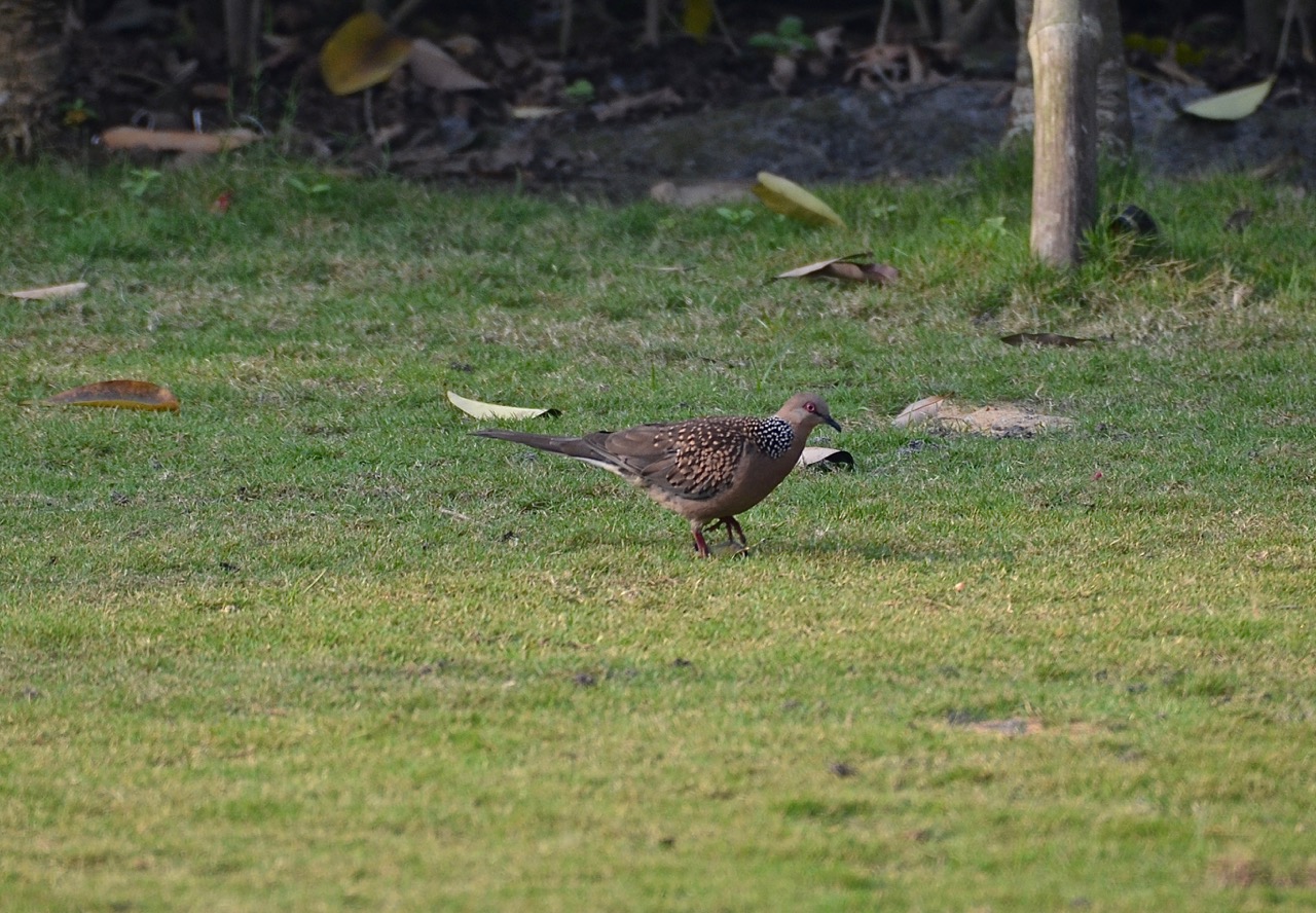
The spotted dove
20 March
2016
Sunrise in Kalyani

20 March
2016
Seen in the road…

19 March
2016