10 July
2026
10 July
2026
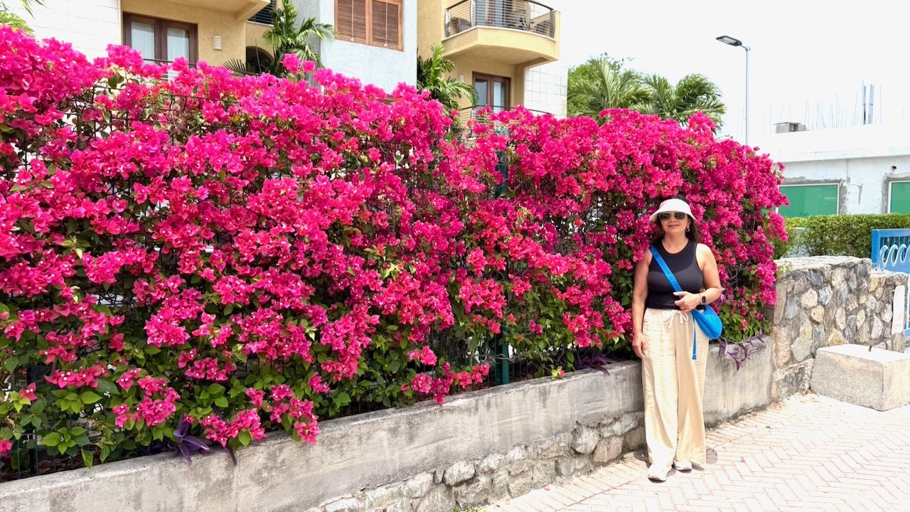
Only in Napa!
10 July
2026
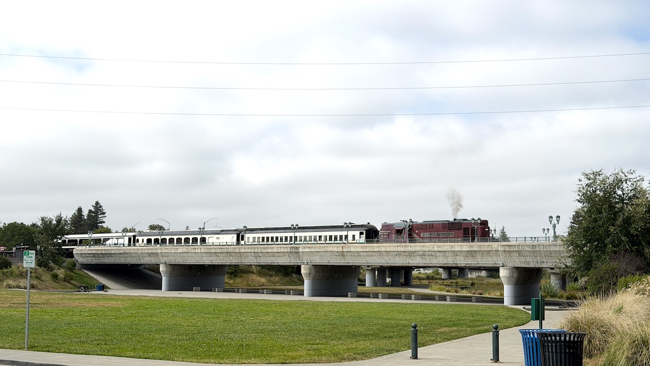
The wine train in Napa
6 July
2026
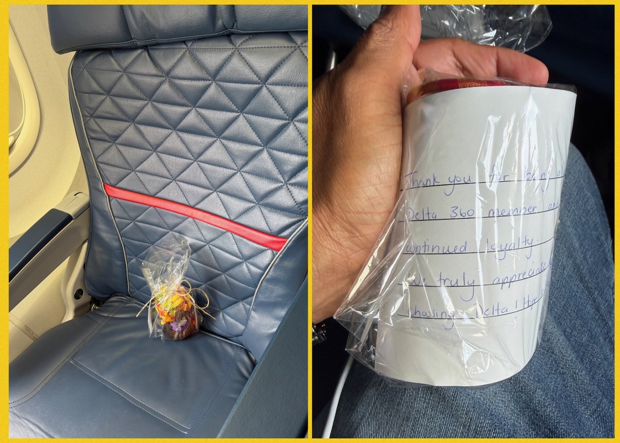
I was not expecting this!
We had just boarded our flight home. Our two little suitcases had already been checked in. They are both carry-on size and barely weigh anything, but we had picked up some local island hot sauce. Those, unfortunately, tend to get one into hot water with airport security.
All I had to do now was find my seat and slide in. I was this close to accomplishing that simple mission when I stopped in my tracks.
There was something sitting on my seat.
It looked like a gift bottle of some sort. My first thought was that the incoming passenger had forgotten it there. Or a passenger who had boarded prior to me had mistaken the seat number, left it there, and wandered off to the restroom. I stood there wondering what to do next, mentally preparing to flag down a flight attendant.
Fortunately, my ever-observant wife noticed something I had missed. (She has a penchant for pointing out my misses!)
“There is something written on it.”
Sure enough, there was.
It turned out the wonderful local Delta team in St. Maarten had left me a small gift. Along with a handwritten note thanking me for all the money… I mean… loyalty… I have shown them over the years. 🙂
I have to admit that the simple gesture made me smile. It wasn’t expected, and it certainly wasn’t necessary. But it made an ordinary flight home feel just a little more special.
Thank you to the Delta team in St. Maarten for the thoughtful surprise.
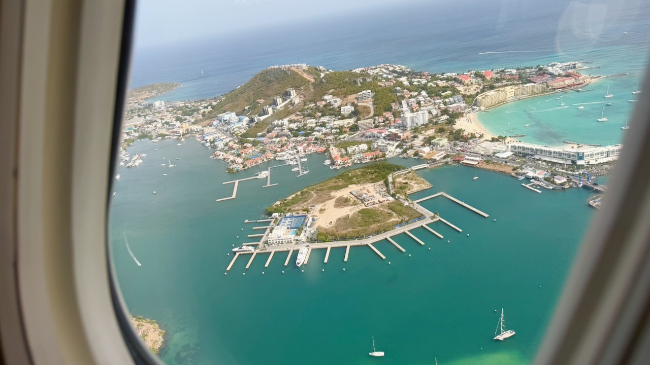
Now you’ve gone and done it.
I’ll just have to come back to the island.
6 July
2026
Goodbye, Sint Maarten
6 July
2026
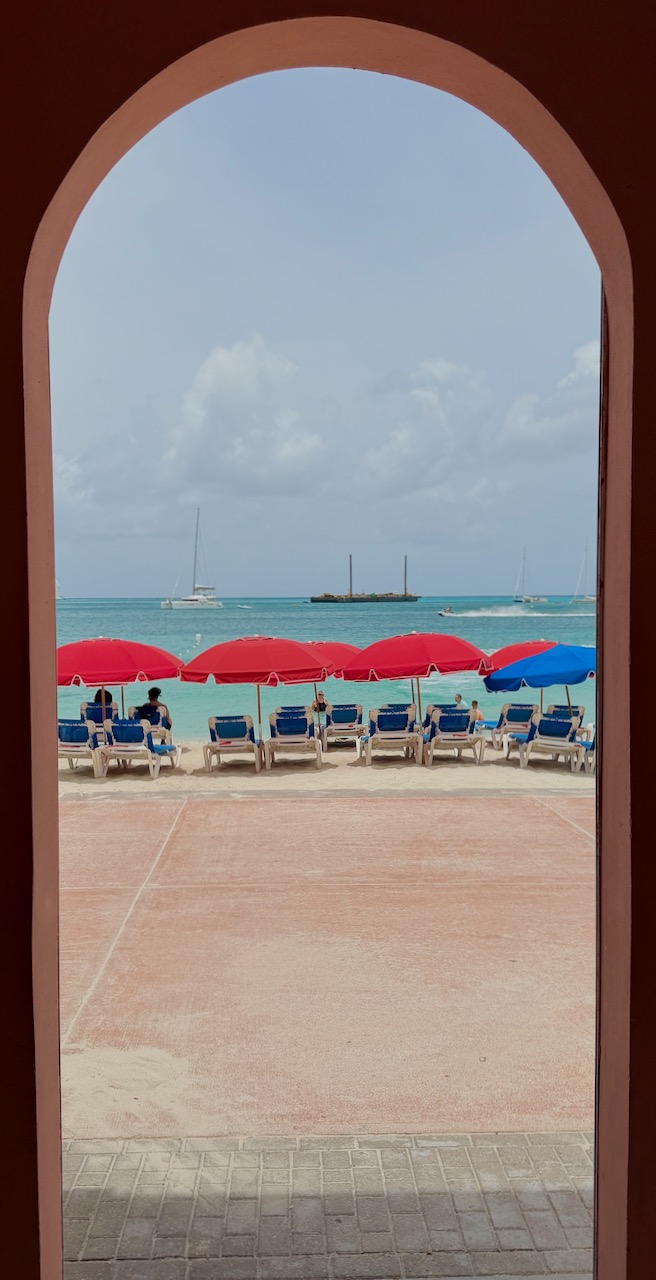
Gateway to Heaven
6 July
2026
The gorgeous Great Bay Beach

6 July
2026
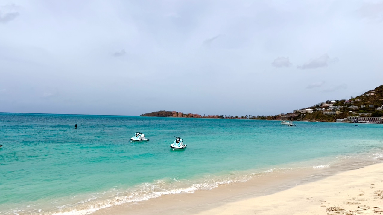
One last beach visit before we head back to Atlanta
6 July
2026
Boardwalk in Philipsburg by the Great Bay
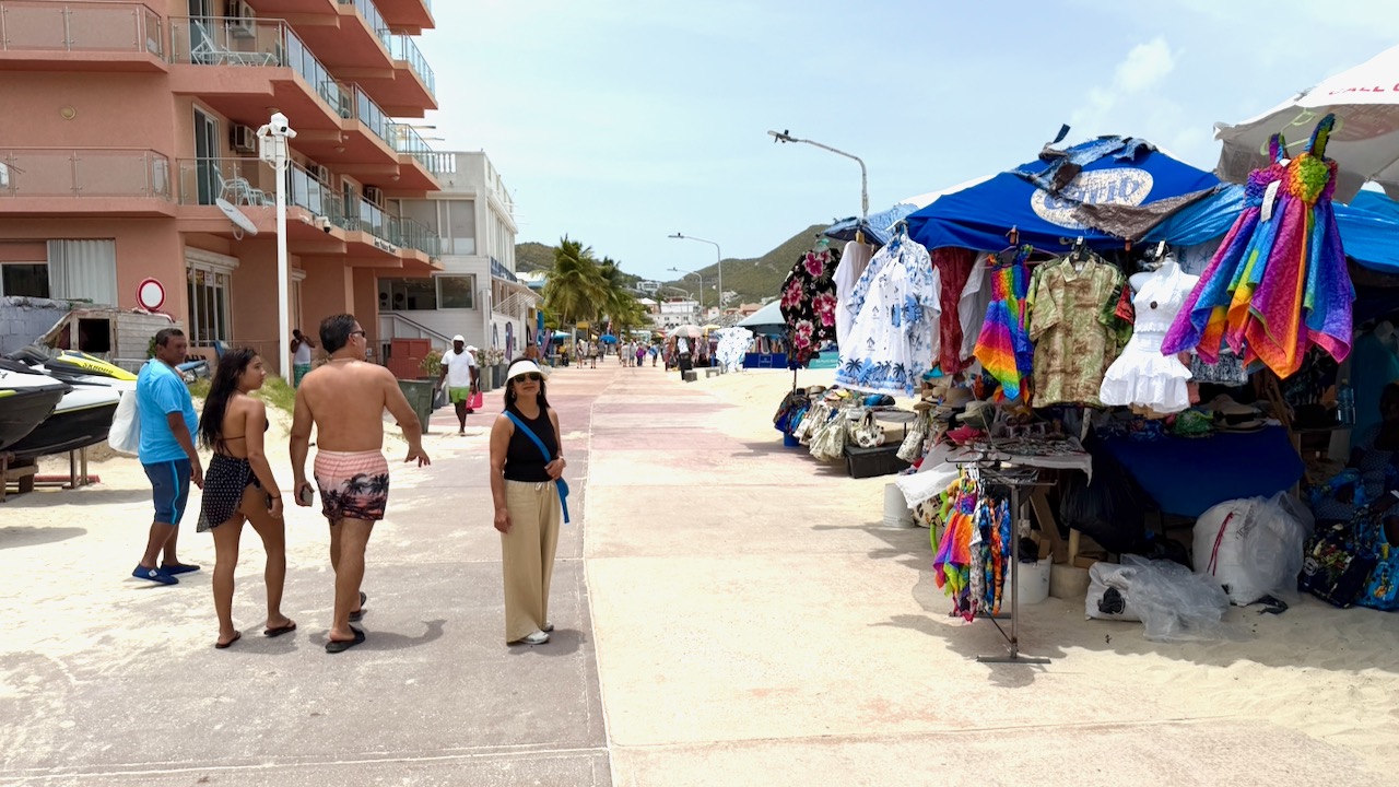
6 July
2026